Skip to content
Black Mountain Excavation

Precision that builds the future

Land surveying

In-house boundary, topographic, and construction staking surveys with GPS/GNSS, total stations, and drone mapping. Accurate data for every phase.

Black Mountain Excavation

Every build starts with the land

Every successful construction project begins with a clear understanding of the land. Identifying property boundaries, mapping topography, or marking construction lines: land surveys are the foundation of accuracy in development.

Our land surveying is fully in-house, run by a skilled crew trained in all aspects of surveying and backed by advanced GPS grade control. From large commercial builds to residential site prep, we help you design with confidence and build without surprises.

We are fully licensed, bonded, and insured, for the safety and protection of our clients and our crews.

Clear boundaries. Smarter builds.

Land surveying services

We offer land surveys tailored to contractors, engineers, and developers. Whether you're mapping property lines, assessing terrain, or prepping a site, we deliver the clarity and detail your project needs.

Boundary work resolves property lines and meets legal standards. Topographic surveys reveal site conditions. Construction staking marks structures, utilities, and grading with precision. Every survey is done with speed, accuracy, and real-time guidance.

  • Boundary identification
  • Topographic mapping
  • Construction staking
  • Drone surveys and as-builts
  • Volume calculations
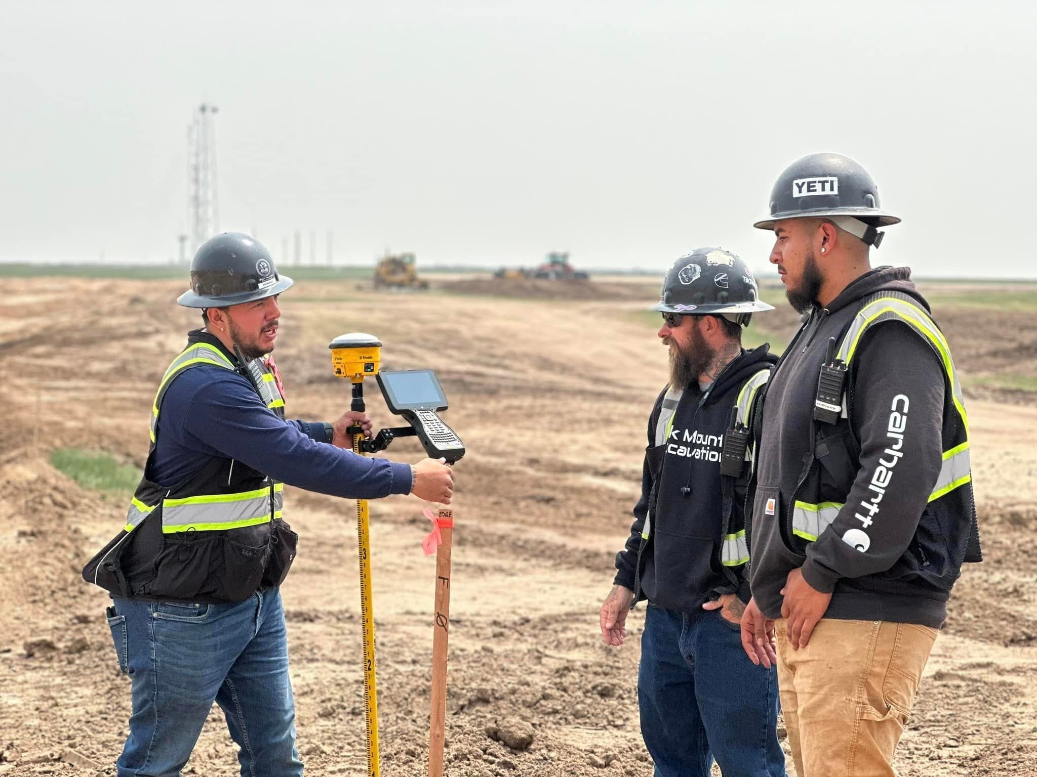
A BME surveyor holding a GPS rover and data collector while two crew members look on at an open job site

Technology that measures up

Advanced surveying tools

We map every contour and boundary with GPS and GNSS for pinpoint accuracy across large or remote sites. Total stations handle real-time distance and angle measurement, while laser tools and drone mapping generate 3D visuals and topographic models.

These tools reduce human error, speed up the workflow, and give you the insight to keep your project on time and on target.

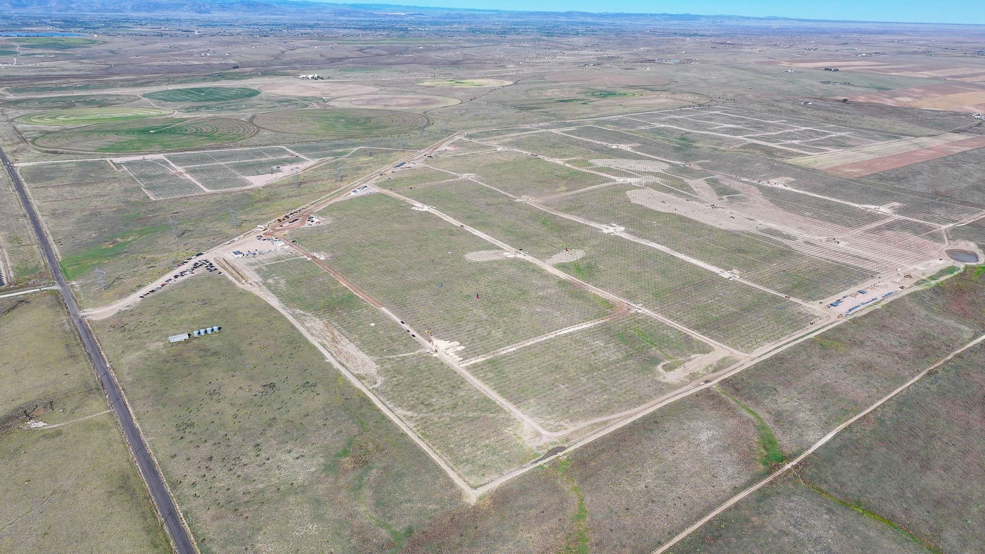
Aerial view of a large site laid out with graded access roads

Start with the right data

From boundary to build

  1. STA 0+00

    01Boundary

    Identify property lines and resolve boundaries to legal standards.

  2. STA 1+00

    02Topography

    Map existing site conditions to guide design.

  3. STA 2+00

    03Staking

    Mark structures, utilities, and grading for the crews in the field.

  4. STA 3+00

    04As-builts

    Document what was built, with drone mapping and volume calculations.

Why accuracy matters legally

Surveys carry legal weight. An inaccurate survey can mean boundary disputes, delays, code violations, or failed inspections. Every report we produce meets local, county, and state regulations and stands up with permitting agencies.

Survey integration with construction

Our surveys don't sit in a file. We work with engineers, architects, and contractors so the data feeds directly into design, layout, and construction, from rough grading to final build-out, avoiding costly errors and rework.

Contact us today

Start with the right data

Great projects begin with accurate information. Contact Black Mountain Excavation to request a land survey or talk with our team about your site.

Monday to Friday, 8am to 5pm